
Redmond ZIP Code Coverage
Reviewed USPS material supports one current Redmond ZIP code validation route and flags one historic or nearby label that should not be assigned to the city today. USPS lists the Redmond Post Office at 618 NW Hemlock Avenue with 97756. That is strong evidence for the postal ZIP shown at the City’s principal retail location, not a boundary map for every address that uses Redmond in its mailing line. The live postal lookup remains the way to validate a specific delivery address.
| ZIP | Areas covered in reviewed evidence | Post office or check | Redmond use |
|---|---|---|---|
| 97756 | Current Redmond postal designation; exact address coverage must be checked live. | Redmond Post Office and USPS ZIP Lookup | Current ZIP to validate for a City of Redmond address. |
| 97760 | Historic or nearby postal-label confusion point, not confirmed as a current Redmond City ZIP. | Terrebonne Post Office and USPS Postal Bulletin 22400 | Check the returned postal city rather than assigning it to Redmond. |
No official USPS boundary polygon or Redmond-only ZIP population table was found in the reviewed sources. For that reason, no neighborhood list, population estimate, or drawn ZIP boundary is presented as official coverage here.
The USPS Redmond Post Office listing is the source for the current postal designation.
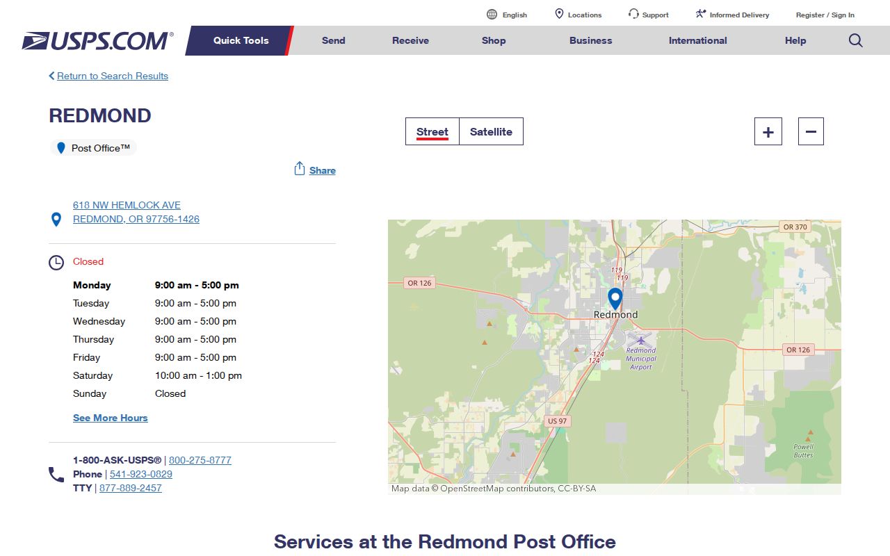
The office listing confirms a postal location and ZIP. It does not replace the live ZIP Lookup result for a particular Redmond street address.
Redmond Postal Verification Sequence
Postal validation, parcel identity, city jurisdiction, and precinct geography are different questions. Start with the exact mailing address in the USPS address or location tools. Next, search the address in Deschutes County DIAL and consult the City of Redmond map gateway for parcel and jurisdiction context. If an election question remains, use the County Elections route to identify the applicable precinct or district. Each step retains the geographic concept that the next step cannot supply.
A mail item can have a valid Redmond postal line while the parcel lies outside City limits. A county parcel record can identify a tax lot without proving a postal route. A precinct can cross mailing patterns. Keeping the returned city and ZIP, the map or account identifier, and the research date together makes an address conclusion repeatable.
Redmond Postal Label Change
Older material can create a false Redmond postal match. Historical official material and older state tables labeled 97760 as Redmond, but USPS Postal Bulletin 22400, published in 2014, says 97760 was deleted from the 97756 Redmond label container. Current USPS location material identifies the post office for 97760 as Terrebonne. The change is a useful warning against transferring an older postal label into a current City record.
Keep the historic address form as printed in a dated directory, map, or record. Then validate a modern delivery address through USPS rather than silently replacing the old wording. A historic label may be correct for its date even when the current postal answer is different.
The USPS Postal Bulletin 22400 documents the label-container change.
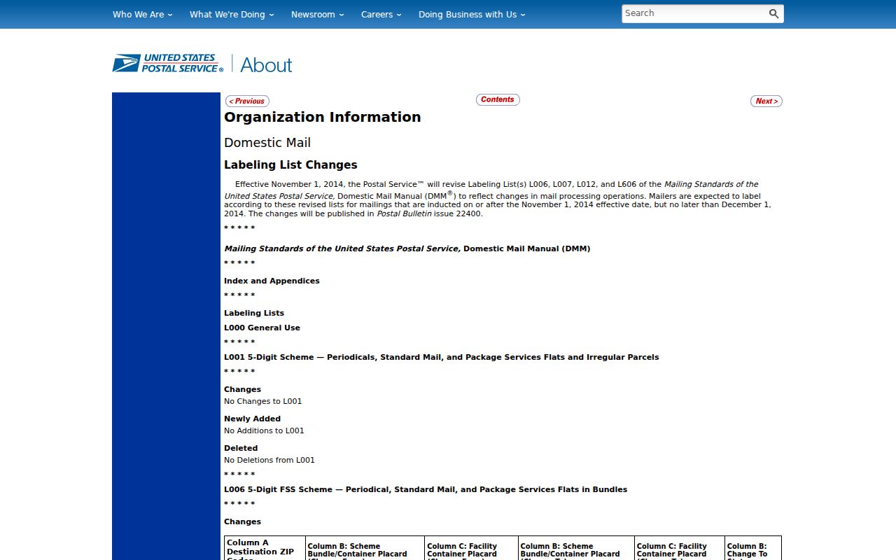
The bulletin is evidence of a postal-label change. It is not a current boundary map or an address-level delivery determination.
Redmond ZIP Portal Fields
Deschutes County DIAL is useful after a postal address has been confirmed, but its documented property-address search is not a blanket ZIP query. It starts with a situs address and can expose a dynamic City filter where results support it. The resulting account and map/tax-lot help tie a Redmond address to the county parcel frame. They do not turn the portal into a list defined by postal delivery geography.
| DIAL control | Documented format or use |
|---|---|
| Search type | Property Address (Situs), selected before entering an address. |
| Value | Full or partial address text. Stable number-and-street fragments can be useful where the complete form is uncertain. |
| Fast Filters | Dynamic result filters, including City when the found data supports it. It is not a fixed ZIP filter. |
| Account number | County result or detail identifier to save with the research date. |
| Map/Tax Lot | Parcel identifier for map and historical-record work after the correct result is confirmed. |
Use Deschutes County DIAL for the address-and-parcel stage. Preserve direction components in Redmond addresses, because NE, NW, SE, and SW can identify different streets.
Redmond ZIP Code Records
A postal designation does not create a verified roster of people. It can narrow an address question only after USPS returns the address’s current postal result. From there, county and city tools answer parcel and jurisdiction questions, while a voter-data request uses the geography and product controls that the form actually supports. The County form identifies countywide, district, and precinct selections. It does not publish a blanket ZIP-based query for people.
- Enter the complete mailing address in the live USPS ZIP Lookup and retain the returned city and ZIP with the date checked.
- Use the confirmed address in DIAL’s Property Address (Situs) mode and save the matched account, map/tax lot, and displayed situs.
- Use the City map gateway and DIAL map to separate City of Redmond jurisdiction from an unincorporated Deschutes County parcel with a similar mailing identity.
- For an election question, request the smallest supported County geography, such as the relevant precinct or district, using the actual product and form controls.
Once an address is narrowed to a specific street, the Redmond street directory handles the separate street-and-parcel workflow. It should not be replaced with a broad postal assumption.
Redmond ZIP and City Limits
Redmond’s city footprint changes through annexations, planning actions, and development. The city line, county jurisdiction, and a postal city name do not always match at the urban edge. A parcel with a Redmond mailing address can lie outside municipal jurisdiction, and a City parcel can carry a mailing configuration that does not fit an assumption drawn from its map position. The City map and DIAL are the local pair for resolving that mismatch.
Postal delivery geography also differs from tax-code areas, census geography, property lines, and precincts. A map used for one purpose should not be promoted into evidence for another. In a city-edge question, state which map was checked, when it was checked, and whether the conclusion concerns delivery, parcel identity, or City jurisdiction.
Note: The exact USPS result, a DIAL account, and a City map layer can all be correct while answering different parts of the same address question.
- ZIP
- A USPS mail-routing designation. It is not a legal City boundary or parcel boundary.
- ZIP+4
- An added delivery-segment detail used with a base ZIP. Confirm it through USPS for the specific address rather than inferring it from a map.
- PO-box ZIP
- A ZIP designation used for post-office boxes. The reviewed sources do not identify a Redmond PO-box-only ZIP, so none is asserted here.
- Unique ZIP
- A ZIP used for one organization or destination. The reviewed sources do not document one for Redmond, so no local example is claimed.
- Carrier route
- A delivery-route grouping. It is not a City limit, precinct, or public identity list.
Redmond ZIP History and Older Addresses
Historic Redmond addresses may omit ZIP information because ZIP Codes were introduced in the 1960s. A directory can instead abbreviate a street, use an earlier route description, or record an address before later postal conventions. The original townsite grid dates to 1905, while incorporation followed in 1910, so older records may also use blocks, lots, plats, or other legal-description language rather than a modern mailing form.
Do not force a modern postal label onto a historic source. Preserve the document’s spelling and date, then connect it to a parcel only with maps, plats, and independently dated records. This avoids confusing a postal change with a change in the underlying Redmond location.
Redmond ZIP and Precinct Geography
Oregon separates a voter’s self-service record from a request for a voter-data product. My Vote is intended for a voter’s own registration and ballot functions, not an open name-and-address roster. Deschutes County’s request form uses countywide or district geography, and precinct selection where the chosen product supports it. A ZIP is not listed as a substitute for those election geographies.
For a historic question, the State Archives inventory identifies Deschutes historical election-register material, including a 1917–1937 register series. That can be a dated location lead only. It must not be characterized as current registration or paired with a modern ZIP result without a separate date and identity anchor.
Redmond ZIP Research Limits
The strongest postal conclusion is modest: validate a specific current address with USPS, map the confirmed address through DIAL and City tools, and use elections staff for precinct questions. The reviewed sources do not establish an official ZIP boundary polygon, a Redmond-only ZIP population figure, a Citywide ZIP roster, or a current Redmond treatment for 97760. Those gaps are reasons to check live sources, not reasons to estimate.
The USPS Terrebonne Post Office listing is the current postal-location source connected to 97760.
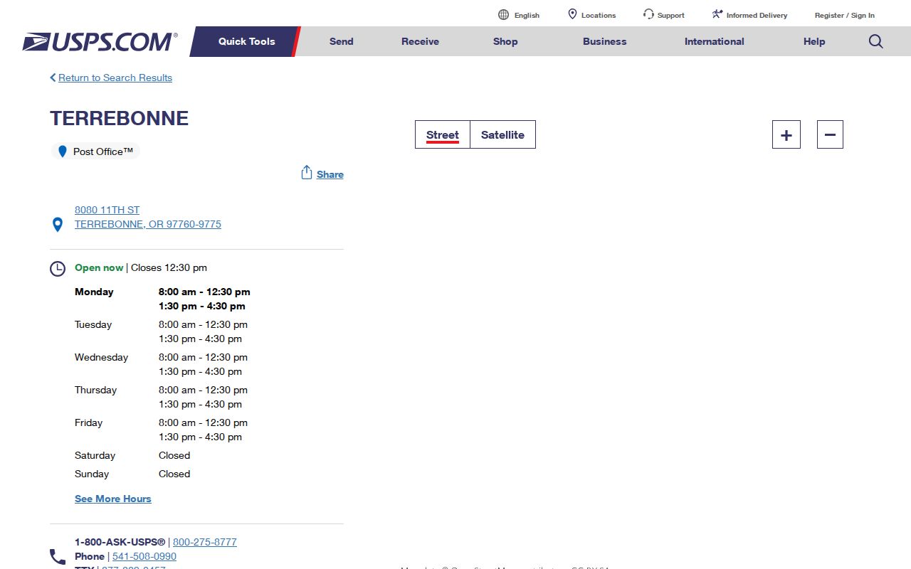
The Terrebonne listing reinforces the need for an address-level USPS check whenever an older or nearby Redmond label appears in a record.