
Redmond Neighbors and Parcel Sources
There is no official current list of individual Redmond neighborhood members or residents around a given address. The useful official records instead describe land, jurisdiction, a public request process, or historic context. Use them in that order. A parcel screen describes a parcel. An assessor's interest or mailing label describes what is displayed for the assessment record. A City map answers a municipal-boundary question. None should be turned into a current household roster.
| Source | What it can show about a block | Access and limit |
|---|---|---|
| DIAL Interactive Map | Confirmed parcel boundaries, map layers, measurement tools, and adjacent parcel context | Public map; describes spatial relationships, not people |
| DIAL property account | Account, map-tax-lot, situs, assessment data, and displayed interest or mailing data | Public account view; mailing information is not occupancy evidence |
| City of Redmond maps | City-limit, planning, and municipal map context | Use with County data; a Redmond mailing address can be outside City limits |
| Recorder and historic plats | Legal descriptions, plat changes, and recorded parcel history | Use parcel identifiers; title parties do not establish current residents |
| County voter-data request product | Only the permitted fields for a selected geography and product | Controlled request with statutory exclusions and use conditions |
Use a parcel account and map-tax-lot as the shared reference across systems. Redmond's directional street elements, including NE, NW, SE, and SW, need to stay exactly as shown in the official source. A dropped direction can lead to a different location. Record the access date, since parcel data and municipal boundaries can change.
Map Redmond Neighbors by Parcel
The adjacent-parcel method starts with one confirmed situs, not a guessed name. DIAL lets the user search a property address, account number, map-tax-lot, owner name, or other listed mode. For a nearby-parcel question, first confirm the situs, account number, and map-tax-lot. Then open the Interactive Map and inspect the parcel boundaries and street connections immediately around that target. The map, layers, and measurement tools provide the spatial context that a name search cannot.
- Enter the official address in DIAL and confirm the displayed situs, account number, and map-tax-lot. Preserve every directional component.
- Open the Interactive Map from the confirmed account, then inspect only the touching or nearby parcel boundaries and street layout.
- Use a selected parcel's public account data to distinguish parcel identity from its displayed assessment or mailing label. Do not call that label a current resident finding.
- Check City map layers for municipal context. If the parcel is outside City limits, use the County system for the relevant record question.
- For a longer address-by-address records chain, use the Redmond street directory rather than extending a block map into an unsupported roster.
This is a spatial process flow: confirmed address, then account and map-tax-lot, then adjacent boundaries, then the correct City or County custodian. It produces a reproducible description of nearby land. It does not establish current occupancy, a relationship between households, or membership in a named community.
Use Redmond Neighbor Map Tools Carefully
DIAL's standard property and map access is public. A free registered Enhanced account adds tools that include mailing labels. The County's training materials describe the notification workflow precisely: select the active property, choose Development, select Mailing Labels, choose the 100 ft buffer, select an output format, and use Get Labels. That is a parcel-notification and mailing function, not a people search.
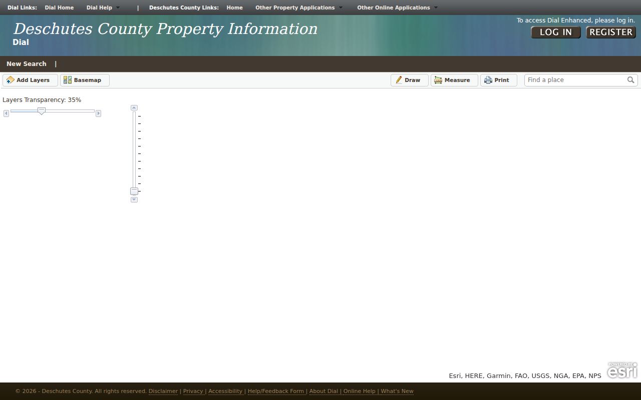
DIAL Interactive Map is the County entry point for the layers and parcel view used in this workflow.
A buffer output identifies parcels or mailing entries within the system's defined distance. It does not show everyone who may use a property, verify that a mailing entry is a residence, or prove social ties between nearby people. Follow the service conditions and limit the output to its authorized notice purpose.
Separate Redmond City Limits From Mail
Redmond postal addressing and City of Redmond jurisdiction are different geographic facts. The City maps page focuses on property and infrastructure inside the city limits. County DIAL covers Deschutes County parcels. A location near an annexation, urban-growth, or planning edge may have a Redmond mailing address while the County is the relevant parcel custodian. The City map should not be used to invent a parcel number, and the County map should not by itself be used to declare City jurisdiction.
This is the key geography check for Redmond neighbors. Separate a City parcel or project question from an unincorporated County parcel question. If a City document is needed but no public online result appears, the City of Redmond JustFOIA portal provides the official public-records intake route for a sufficiently descriptive request.
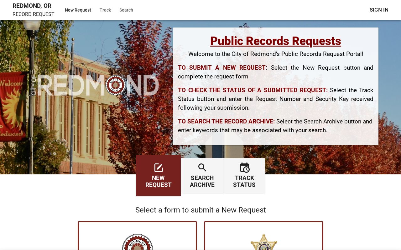
Describe the record sought, the address or project title, and the date range. City policy allows electronic furnishing when a record is available electronically. A focused request is a better fallback than asking the City to identify who belongs to a neighborhood.
Trace Redmond Neighbor Parcels Through Plats
Historic nearby-parcel questions need legal descriptions and plats, not just a modern map screenshot. The Deschutes County Recorder is the authority for recorded title instruments. Start with the current account and map-tax-lot, then preserve the recording number, document type, recording date, party role, and legal description from the associated Recorder record. The legal description is the continuity anchor when a subdivision, replat, or street change has altered how the same ground is labeled.
For older material, the County's historical research route includes deed, plat, and metes-and-bounds indexes. The State Archives inventory also identifies older plat and aerial material. Compare a dated plat or legal description to the current parcel instead of treating two close pins as the same historic property. Redmond's early grid and later subdivision growth make that restraint important. A nearby boundary today may not have existed in the same form in an earlier period.
Save the source date and the exact book, page, or recording reference when one is available. A parcel split, street renumbering, or later plat can leave a gap in the chain. Mark that gap as unresolved until the legal description and dated map evidence connect it.
Control Redmond Neighbor Voter Records
Oregon My Vote serves a voter working with that voter's own registration and ballot information. It is not an open lookup for nearby people. The lawful public route for voter-data products is a request to the Secretary of State or Deschutes County Clerk. The County form supports selected products, geography, precinct, party, election, and format options. A Voter Walking List is a named product, but it should not be described as a complete current household list.
Start with jurisdiction and precinct context, then request only the smallest supported scope needed for the stated purpose. Public voter access excludes sensitive fields such as signatures, driver-license data, Social Security numbers, and birth month and day. Confidentiality and address-protection procedures can further limit a result. Do not use a voter product to override a protected address or to combine partial fields into a block-level claim about residents.
Find Redmond Neighbor Context Sources
Parcel proximity is not community membership. The reviewed official sources did not identify an official current directory of individual participants in Redmond civic, school, faith, association, or neighborhood groups. A subdivision name, planning label, commercial place name, or informal local term may describe an area without creating a legal boundary or a member list. Use an official City plan label or Recorder plat title when one actually connects to the parcel.
| Public institution or source | Best use for nearby-context research | What not to infer |
|---|---|---|
| City of Redmond maps and JustFOIA | City boundaries, planning context, public projects, and narrowly described City records | Private group membership or a resident roster |
| Deschutes County Assessor and DIAL | Parcel identity, map-tax-lot, assessment record, layers, and spatial relationship | Current occupants or personal relationships |
| Deschutes County Clerk, Recording | Recorder instruments, legal descriptions, and recorded plats | Move-in dates or present residence from a party label |
| Deschutes Public Library history resources | Dated maps, directory volumes, newspaper issues, and local-history context | A current community directory from a historic source |
For historic context, the library, county historical collections, and local historical organizations can help locate a dated map or directory volume. Treat those as evidence of what a particular source printed at a particular time. A public meeting record may describe a project or decision, but it is not a basis to list participants by address.
Protect Redmond Neighbor Privacy
Official parcel records and commercial neighbor-lookup categories are not equivalent. The official record is tied to a named custodian, field labels, date, and legal limits. A commercial category may combine data from many places and is not a substitute for the County account or the Recorder's legal description. Neither type should be used to make an unsupported claim about a person's present residence, family relationship, conduct, or group membership.
| Official parcel and records route | Commercial neighbor-lookup category |
|---|---|
| Shows the custodian's specific parcel, title, map, or request data with source limits | May combine or relabel data of unknown date and origin |
| Supports a limited statement about a displayed record or spatial relationship | Does not replace verification with the original custodian |
| Requires respect for redactions, access limits, and protected addresses | Must not be used to fill gaps left by a statutory protection |
Oregon Public Records Law grants access to nonexempt records, not every personal detail held by a public agency. The Oregon Address Confidentiality Program, ORS 192.820-192.868, shields eligible participants with a substitute address and mail forwarding. Court and vital records also have protected categories. Leave an omitted or redacted detail omitted, and ask the owning agency about a lawful request or an available redacted version rather than trying to reconstruct the information.
Lawful use. Use nearby-parcel research for a personal, lawful purpose such as understanding land context or a public project notice. Do not use it to watch, stalk, harass, intimidate, or locate a protected person.